Languages
Soil maps are crucial for modeling species in the Amazon, but they have problems.
 An international team, including PPBio researchers, has shown that soil data are important in modeling distributions of Amazon plant species. For 40 of the 42 species of plants investigated, the climate-only models performed less than the models including climate and soil, and the area mapped as suitable habitat for the species was often overestimated. They also evaluated that while improving models, the available soil maps contain significant inaccuracies. This is probably one of the reasons why most species distribution models emphasize the inclusion of only climate data as predictor layers. Inadequate distribution maps can cause errors in conservation planning.
Photo: Hanna Tuomisto
"The differences between maps using only climate and maps including soils and climates were very large. Maps, including soil, were almost always the most accurate," says Figueiredo. In addition, all plant groups included in the study gave similar results - herbs, palms, lianas and trees. "This indicates that the results are valid for plants in general," adds Dr. Hanna Tuomisto of the University of Turku, Finland, who participated in the study.
Researchers may have overlooked soils in modeling species distributions, in part because large-scale weather data is readily available over time. "Large-scale soil maps have been released more recently, but the variables presented do not directly reflect the characteristics that plants respond to in the natural environment," says Dr. Gabriel Moulatlet of the University of Turku. He led another study that evaluated the quality of some digital soil maps. "We found significant problems with the maps, and also that they do not have the most ecologically relevant information," he says.
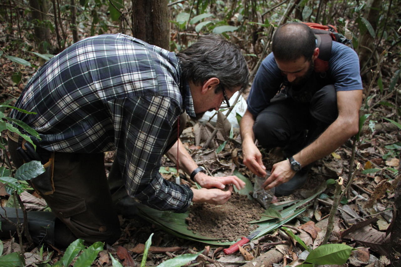
According to the PPBio researcher of the INPA Ecology Coordination, Dr. Flávia Costa, "these conclusions were only possible due to the existence of the PPBio biodiversity data repository, which includes not only the records of the occurrence sites of the species , but also makes available to the scientific community environmental data obtained in the same places where the plants were collected, which allows us to better evaluate the models.
Climate change scenarios suggest that parts of the Amazon are becoming drier and others moister so that areas that are climatically suited to tropical forest plants may be becoming smaller or shifting. "In addition to the climate, different soils also limit the occurrence of different species. So it will be difficult for species to locate and migrate to areas where all environmental conditions are appropriate for them in the face of global warming", says Dr. Costa. These findings are going to have a major impact on the predictions for the future of Amazonian plants because conservation planning needs models of species distribution that take into account both edaphic and climatic factors. According to Dr. Gabriela Zuquima a PPBio collaborator at the University of Turku, "the production of reliable models is challenging and these works represent a great advance".

Links to articles:
Figueiredo FOG, Zuquim G, Tuomisto H, Moulatlet GM, Balslev H & Costa FRC (2018). Beyond climate control on species range: The importance of soil data to predict distribution of Amazonian plant species. Journal of Biogeography. 45:190–200. https://doi.org/10.1111/jbi.13104
Moulatlet, GM, Zuquim, G, Figueiredo, FOG, Lehtonen, S, Emilio, T, Ruokolainen, K & Tuomisto, H (2017). Using digital soil maps to infer edaphic affinities of plant species in Amazonia: Problems and prospects. Ecolology and Evolution 7: 8463–8477. https://doi.org/10.1002/ece3.3242
Financing:
MCTI, CNPq, CAPES, FAPEAM, Academy of Finland, University of Turku Graduate School.
Goeppertia loeseneri. Photo: Fernando Figueiredo.
Page Created and Translated by Tim Vincent 15.Fev.2018
