Languages
REBIO Uatumã
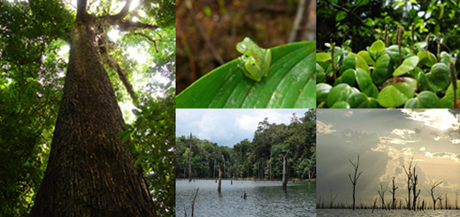
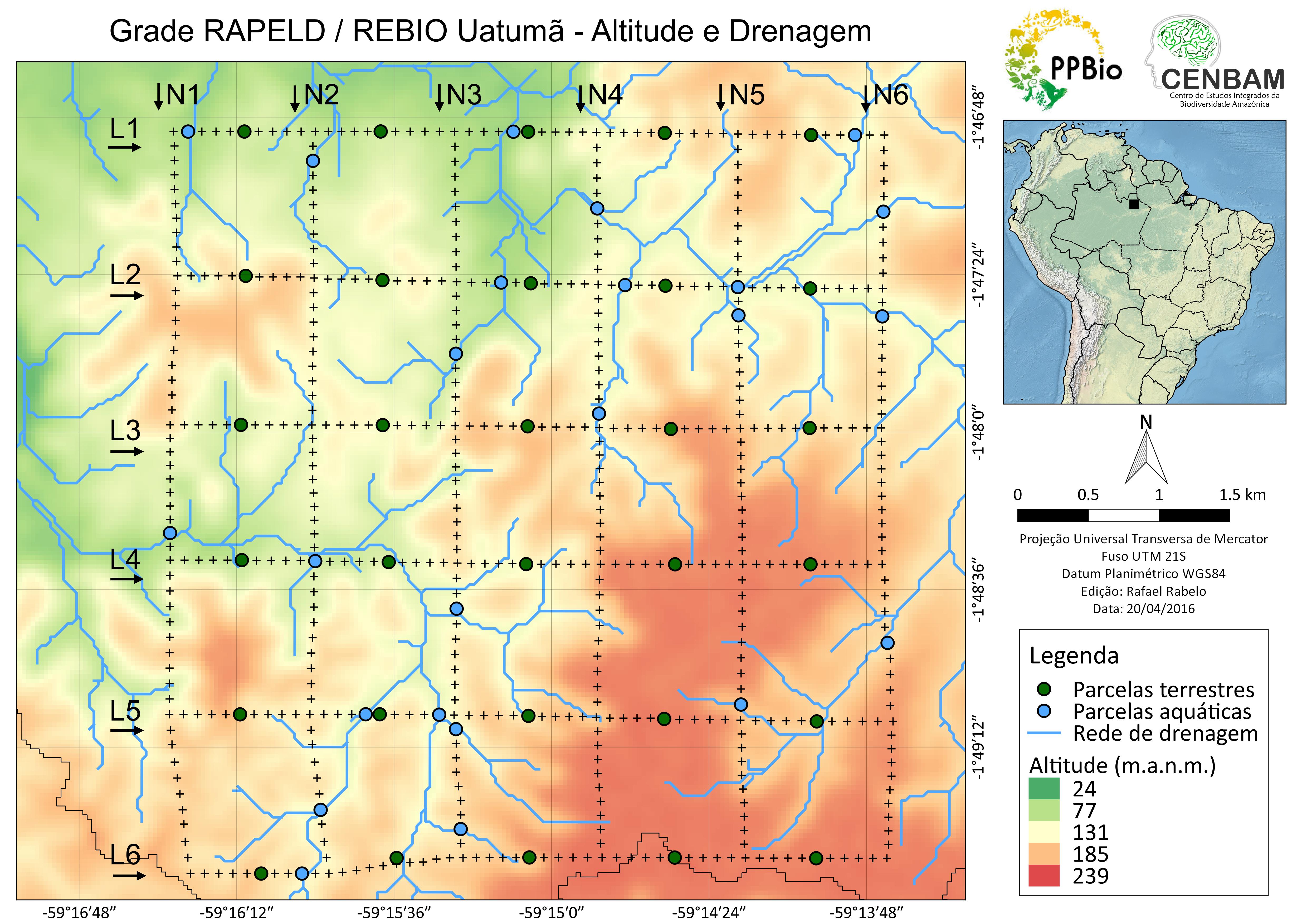
Rebio Uatumã covers 942,786 hectares and was created in 1990 to preserve the biological diversity of this dense tropical forest ecosystem. The reserve is located between the municipalities of Presidente Figueiredo, São Sebastião do Uatumã and Urucará in the Uatumã / Jatapu river basin. The reservoir and the barrier created by the Uatumã river protect rare and endemic species that are vulnerable or threatened with extinction.
Metadata
TO SEE METADATA AND DATA FROM THIS SITE, VISIT THE PPBio DATA REPOSITORY PAGE
Guidelines to facilitate the search in the repository: in the search page of the link above, type the keyword: Uatumã
The research sub-network "Vegetable Diversity and Bioactive Molecules in the Biological Reserve of Uatumã, Central Amazonia" was approved in 2005, (Edital MCT / CNPq / PPG7 no. 48/2005). This subnet is made up of four research projects. The research project "Biomass, Structure and Composition of the arboreal and herbaceous vegetation of the Biological Reserve of Uatumã, Central Amazonia" is one of them and in 2007 installed a grid of tracks, following the RAPELD methodology.